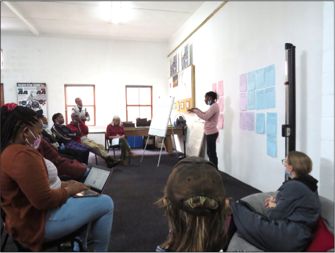
 This methodology article looks at how participatory visual methods such as digital storytelling, community mapping, and photovoice can support at-risk community members to reveal their insights on climate-related environmental hazards. Through a South African case study, the article demonstrates how visual methods give community members tools to show what they experience during floods, drought and fire outbreaks. By following a layered visual methods pathway, where DST informs mapping, and mapping informs photovoice, groups of community-based co-researchers collectively analyse what is missing with regards to responsiveness and support when environmental disasters strike their homes.
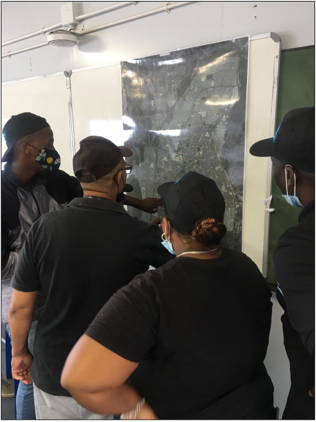 Through identifying these gaps, affected community members have co-created disaster risk management strategies together. The article demonstrates how the voices of those often excluded from disaster risk planning, such as women, elders, or marginalised groups, can contribute substantively towards shaping preparedness strategies. It also highlights how mapping risks, sharing stories, and discussing visual outputs as a group builds shared understanding, trust, and ownership of emerging action plans. Local emergencies, seasonal changes, and social relationships are brought into the conversation in a way that more traditional forms of research often miss. The authors explain that this type of approach supports a shift from externally designed disaster management plans to community-derived risk mitigation strategies. In practice, this makes response more contextually appropriate, timely, and acceptable to vulnerable communities. Research methodology of this nature also builds local capacity as those who are engaged and involved in the research as co-researchers gain confidence and skills to monitor hazards, implement the action plans they have helped to develop, and advocate for appropriate changes in infrastructure or policy. In short, when communities lead through visual and participatory tools, disaster risk planning becomes more inclusive, relevant, and sustainable.
This work was funded by UKRI GCRF. For more information explore the Water and Fire website.